

Histoire abrégée des Provinces-Unies des Pais-Bas...
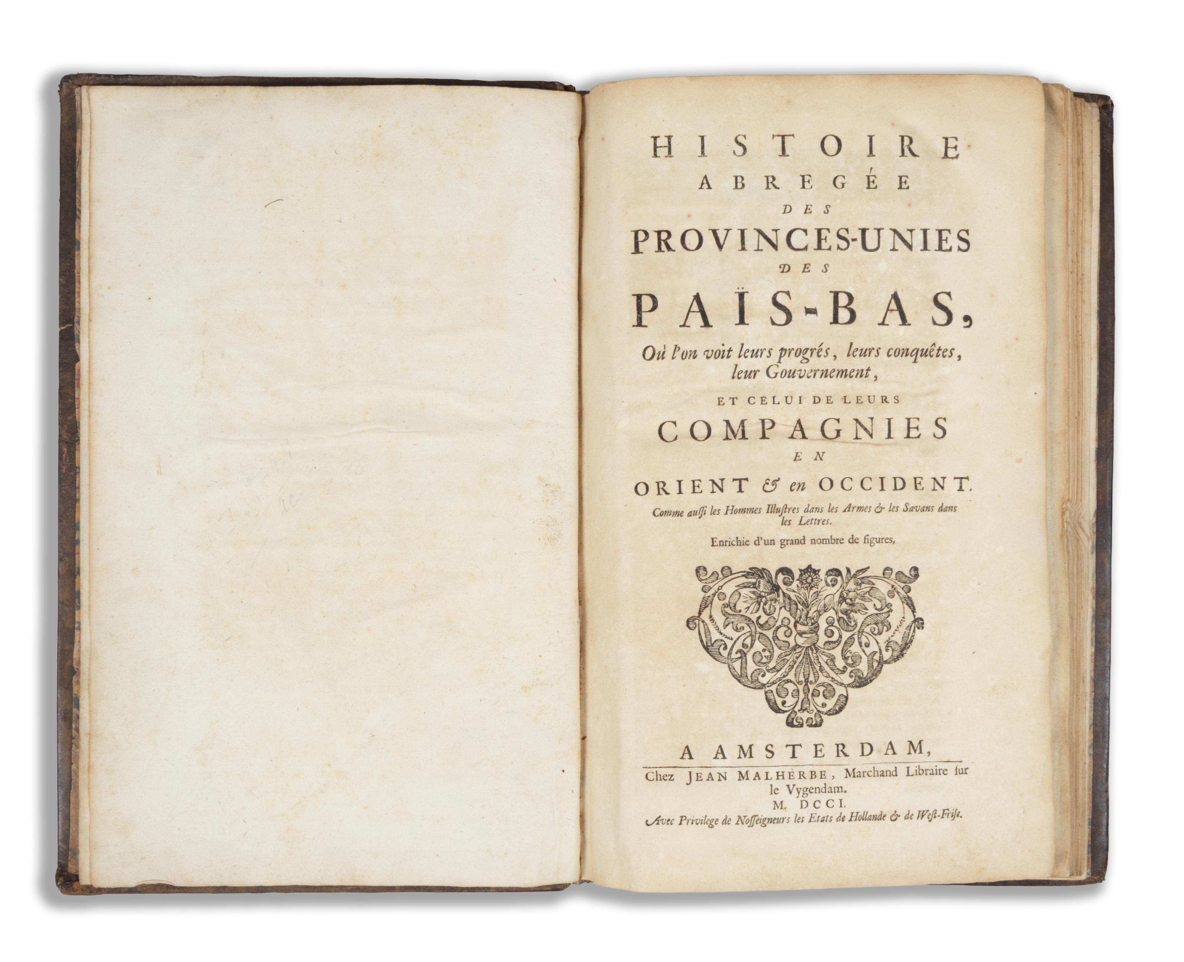
Amsterdam, 1701. Jean Malherbe...., où l'on voit leurs progrès, leurs conquêtes, leur gouvernement, et celui de leurs compagnies en orient & en occident. Comme aussi les Hommes Illustres dans les Armes & les Savans dans les Lettres. Enrichie d'un grand nombre de figures.
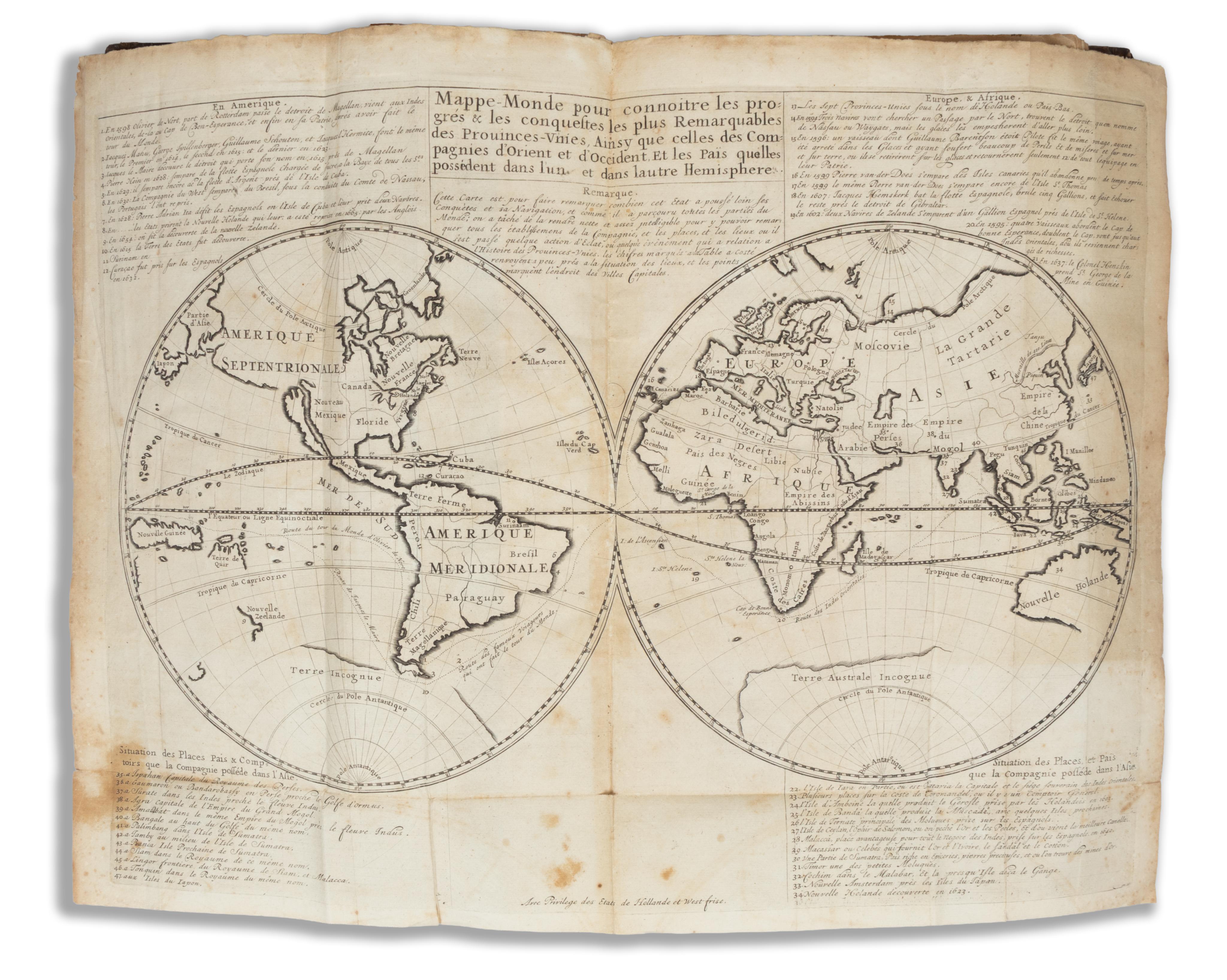
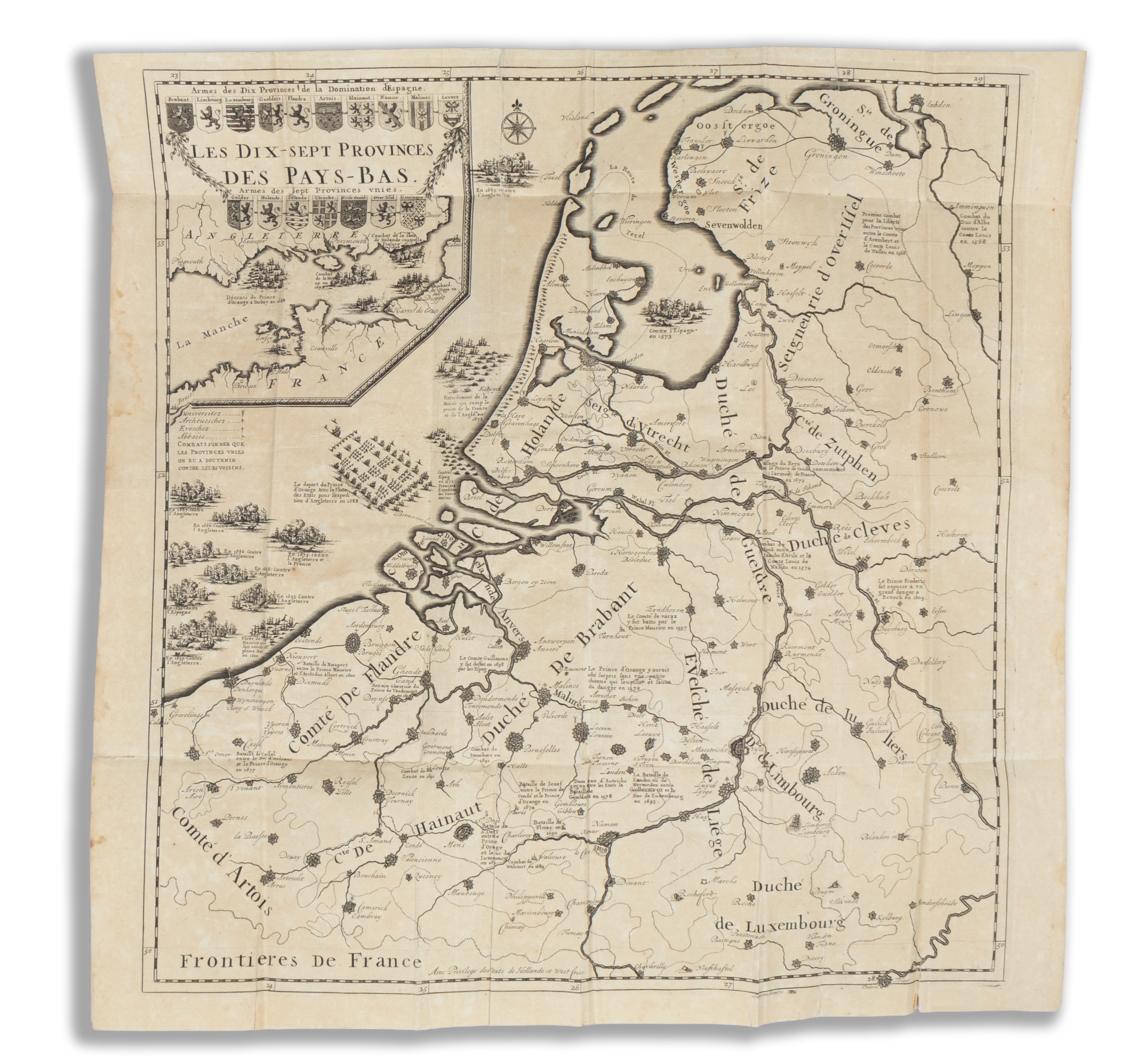
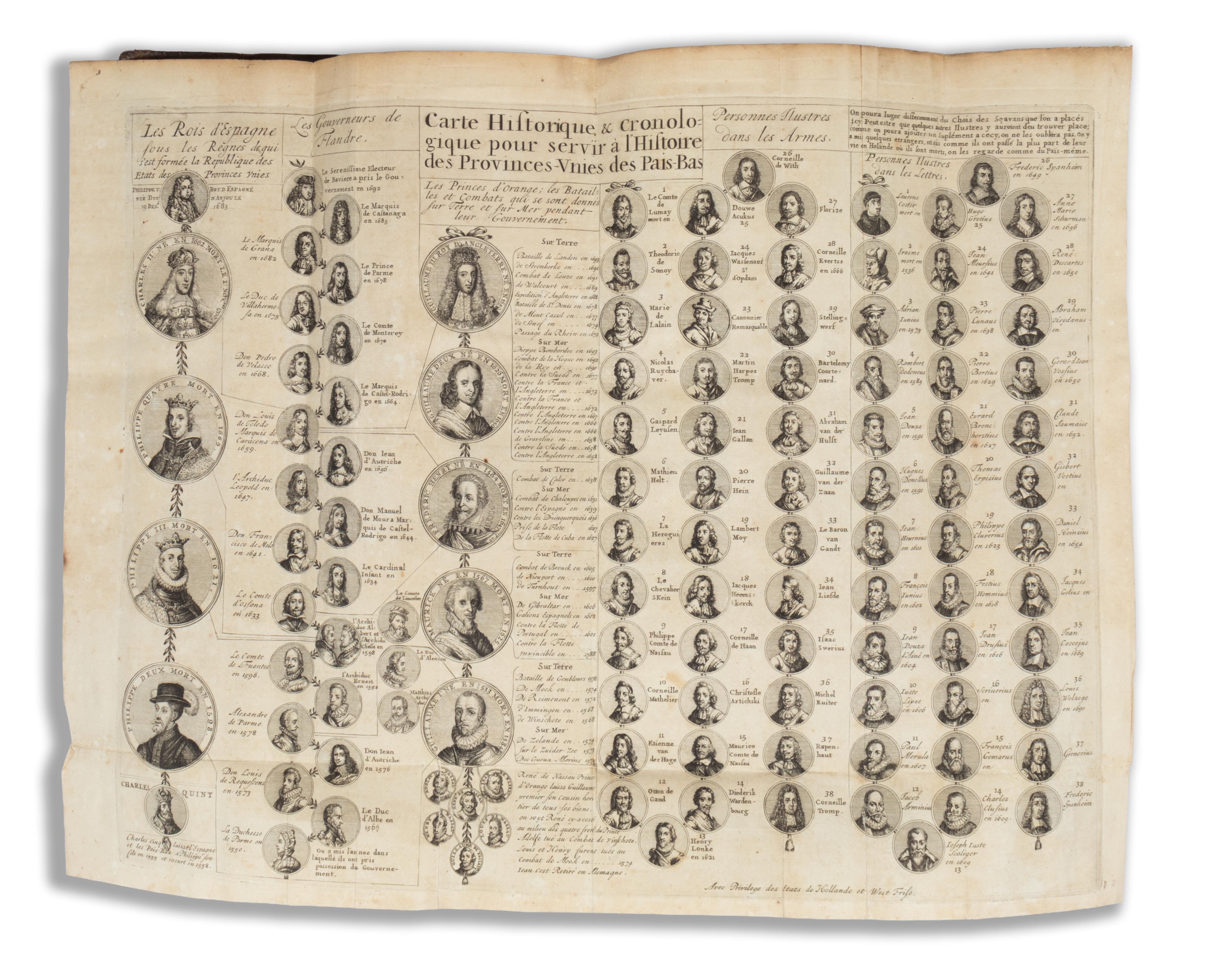
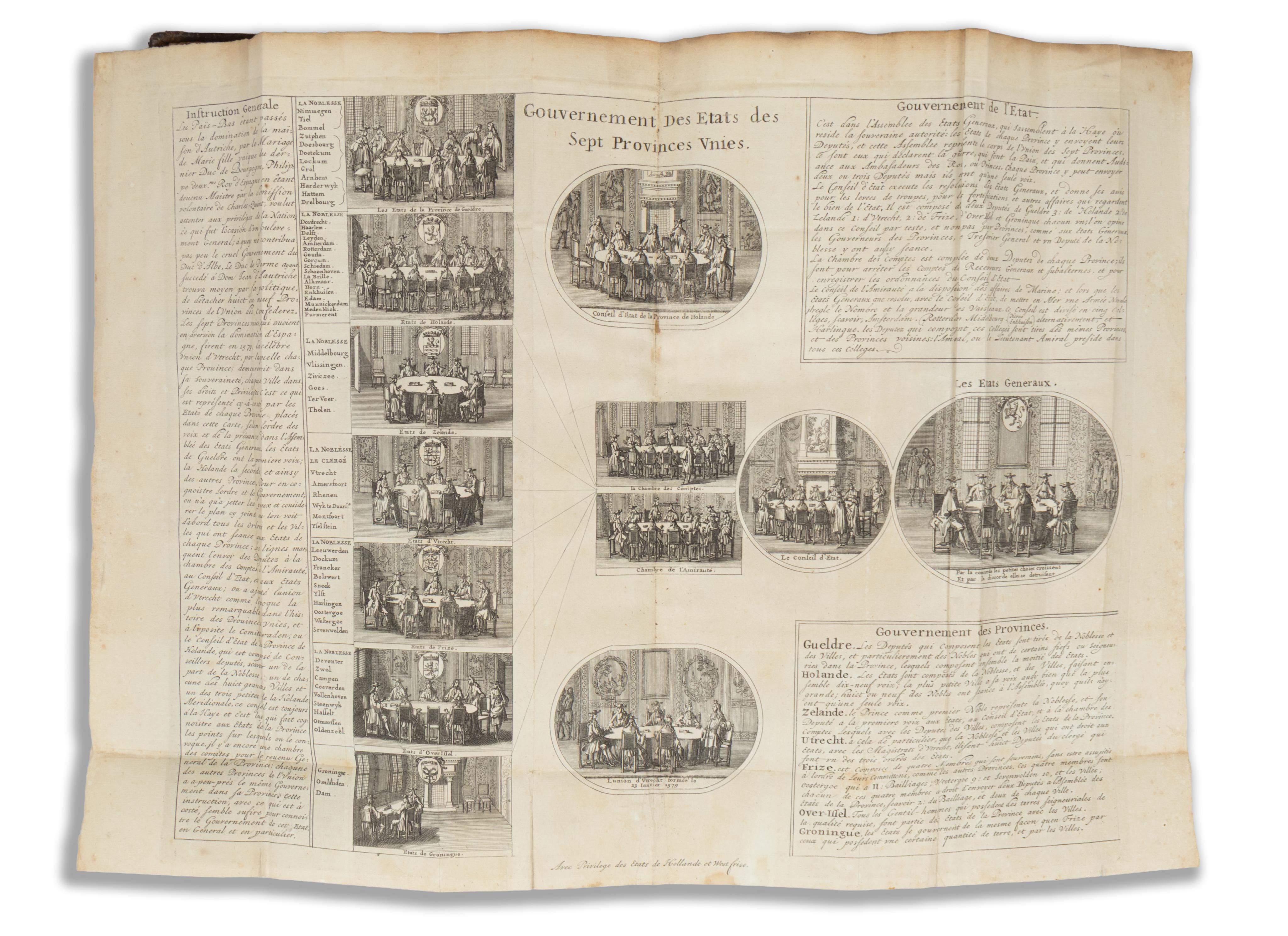
[VIII] + 109 + [3] p. + 1 t. Hollandia [Németalföld] kihajtható, metszett térképével, kihajtható világtérképpel (amely a Kelet- és Nyugat-indiai Társaságok kereskedelmi telepeit mutatja), + 4 t. kihajtható táblával, amelyek nagyszámú apró, kerek portrét, valamint a különböző tartományok és kereskedelmi társaságok üléstermeinek belső tereit ábrázolják, továbbá 37 egész oldalas táblával, amelyeken 167 portré, alaprajz és látkép található.
Első francia nyelvű kiadás spanyol Németalföld – más néven északi Németalföld vagy Észak-Németalföld, legismertebb nevén az Egyesült Tartományok – történetét bemutató illusztrált összefoglalójának.
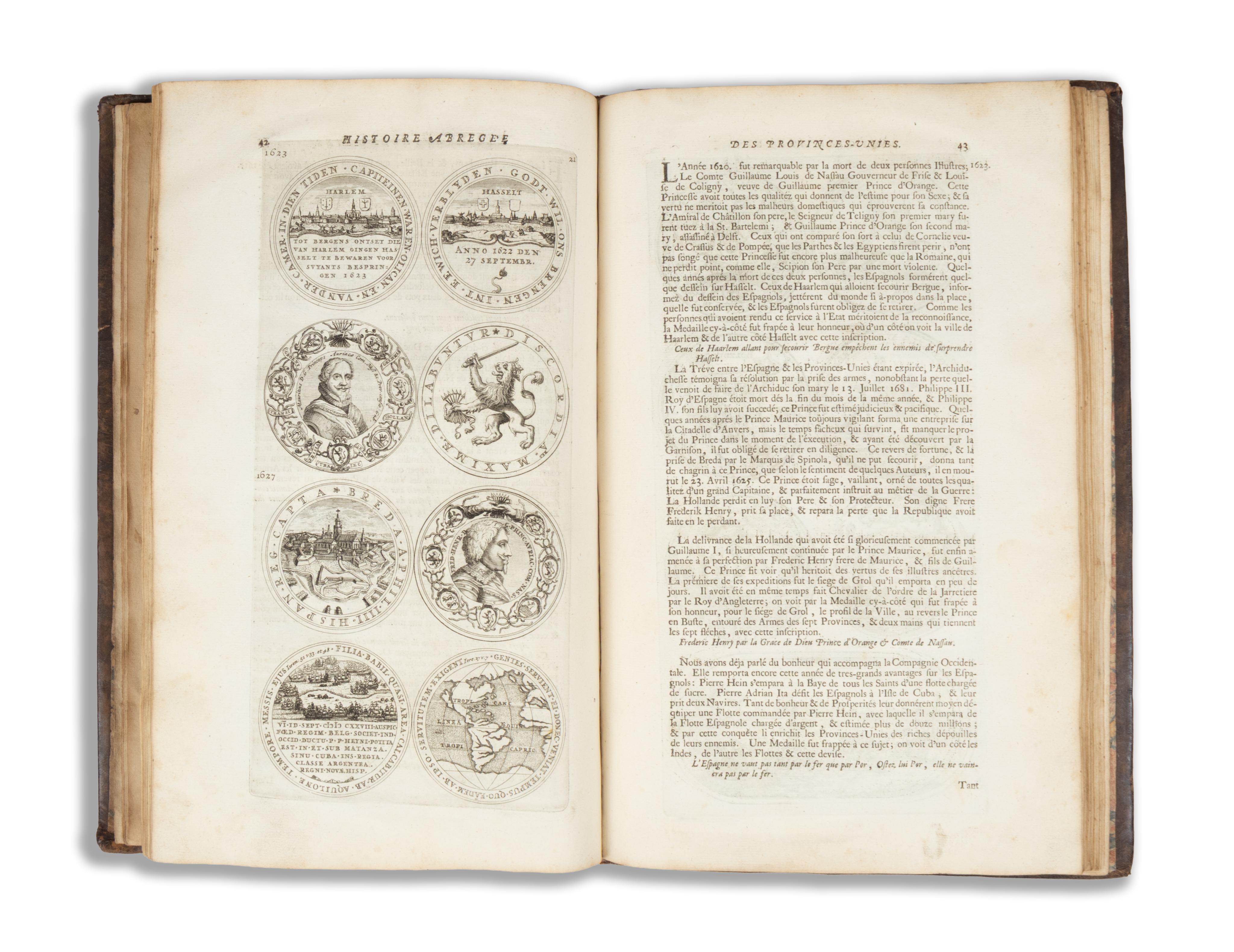
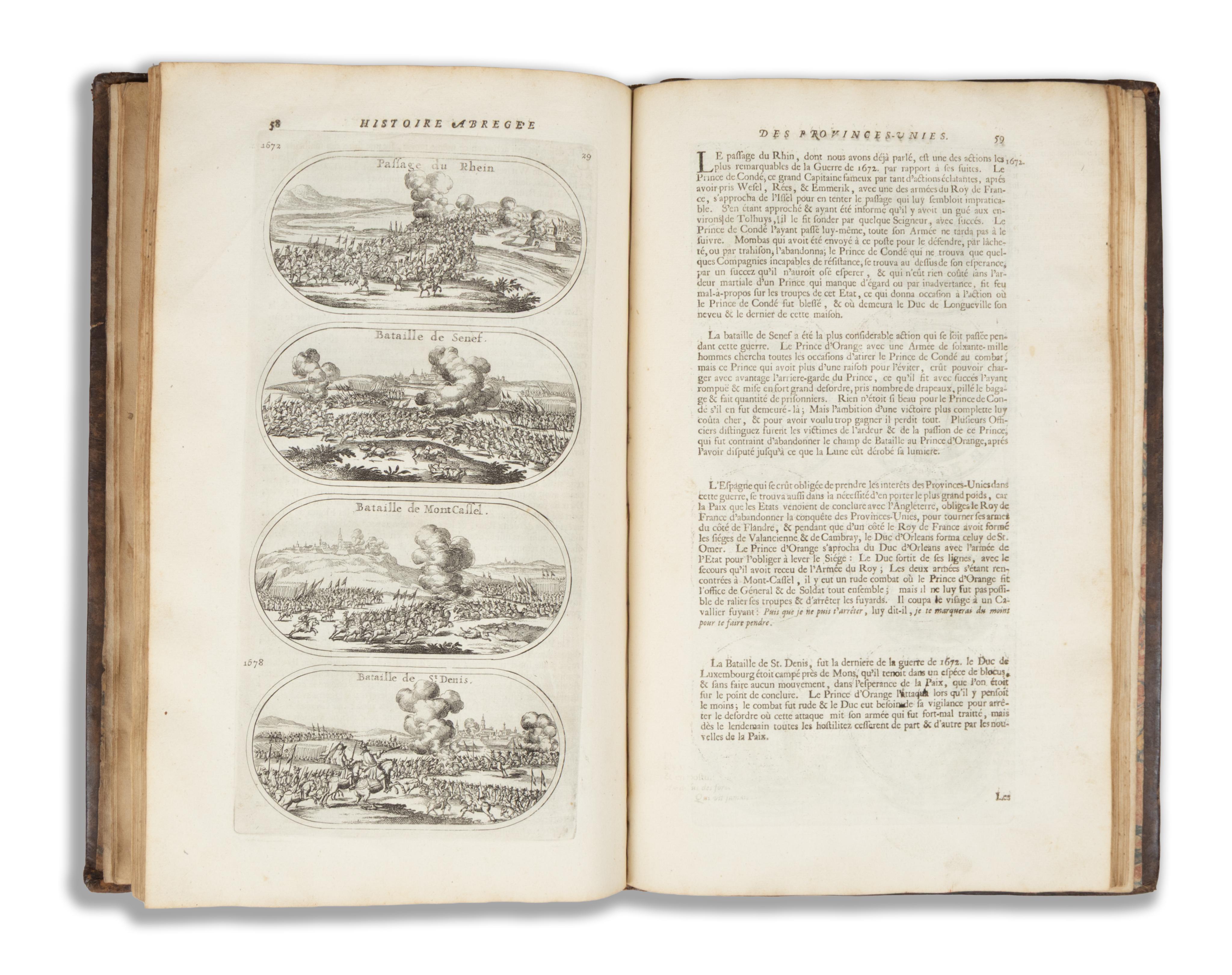
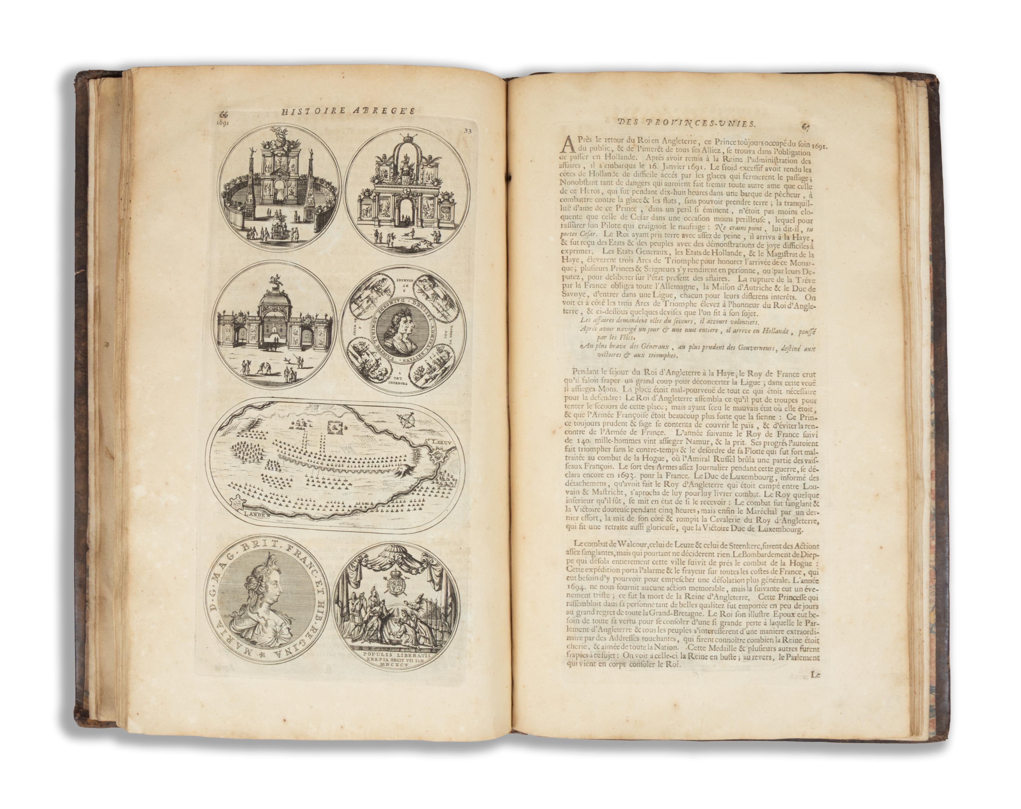
A mű első része 37 finoman kidolgozott, metszett táblát tartalmaz a páratlan oldalakon, a szöveggel szemben. Ezek a rézmetszetű táblák érmék reprodukcióit és történelmi jeleneteket – különösen csatákat – ábrázolnak, amelyek a XV. századtól a mű megjelenéséig terjedő időszakot ölelik fel.
A mű második része 38 rövid életrajz sorozata olyan "fegyverforgatásban jeleskedő személyekről, akik valamilyen kimagasló tettükkel hozzájárultak a Hét Egyesült Tartomány Köztársaságának megalapításához, valamint olyan tudósokról, akik annak dicsőségére váltak".
A mű emellett hiánytalanul tartalmazza a hat kihajtható, metszett táblát, amelyek a könyv elején fálcra (kötőfülre) vannak erősítve. Az első tábla a "Németalföld tizenhét tartományának" térképe, a következő négy pedig történelmi és kronológiai térképek, amelyek többek között medalionokban ábrázolják Flandria és Hollandia grófjainak, a spanyol királyoknak, az orániai hercegeknek stb. a portréit, valamint e tartományok különböző kormányzatainak – köztük a Kelet-indiai Társaság kormányzatának – a bemutatását. Végül egy világtérkép, "hogy megismerjük az Egyesült Tartományok, valamint a Kelet- és Nyugat-indiai Társaságok legfigyelemreméltóbb előmenetelét és hódításait. És azokat az országokat, amelyeket mindkét féltekén birtokolnak." (Chadenat, 4897).
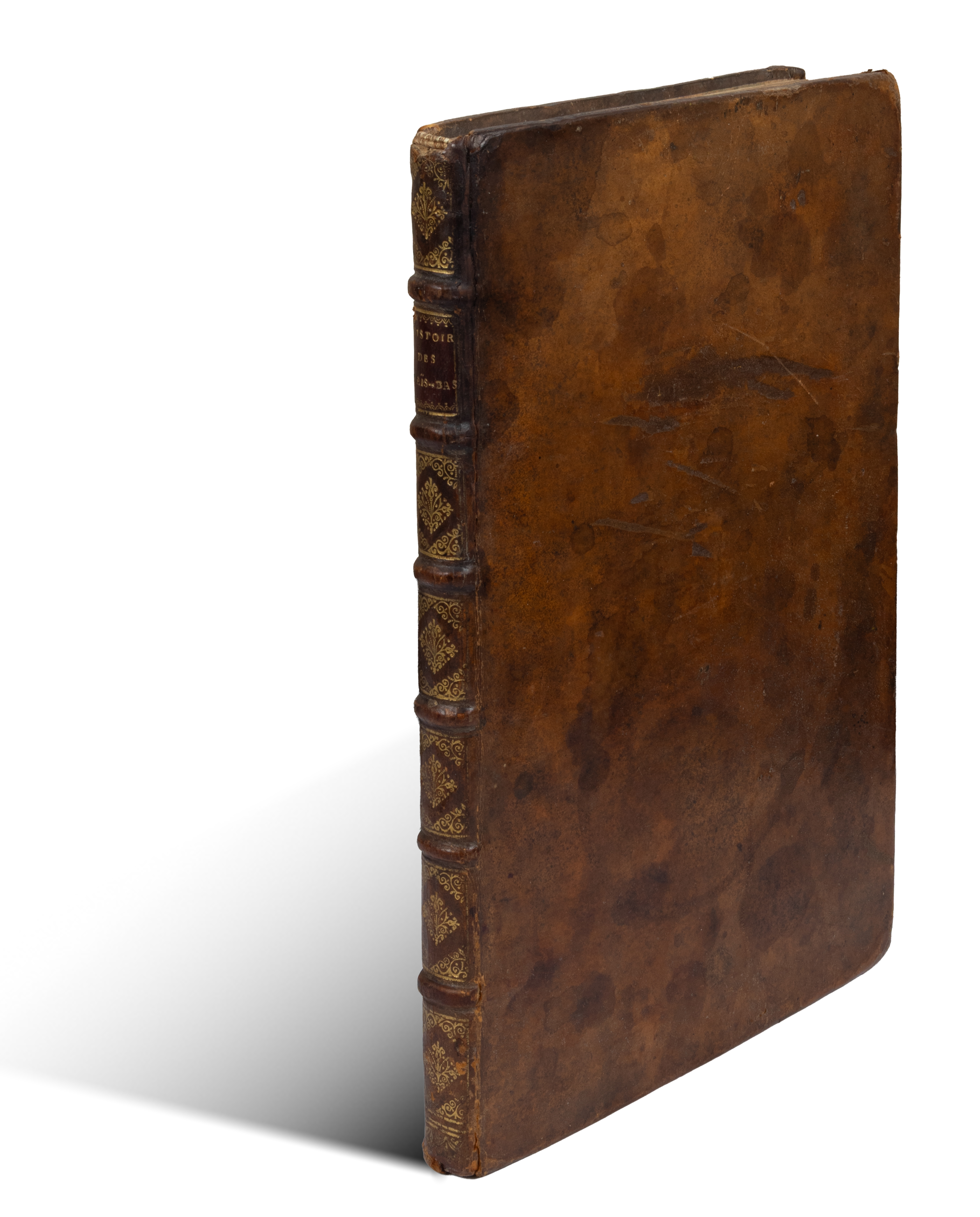
Korabeli egészbőr kötésben, aranyozott és bordázott gerinc. Belül szép, tiszta.
FIRST EDITION in French of this illustrated summary of the history of the Spanish Netherlands, also known as the Northern Netherlands, and best known as the United Provinces.
The first part of the work contains 37 finely engraved plates on the odd pages, facing the text. These copper-engraved plates consist of reproductions of medals and historical scenes, notably battles, covering a period from the 15th century to the publication of the work.
The second part of the work is a succession of 38 short biographies of "illustrious persons in arms who have performed some brilliant action that contributed to the establishment of the Republic of the Seven United Provinces, as well as Scholars who served as its ornament."
The work is moreover entirely complete with the six folding engraved plates, mounted on stubs at the front of the book. The first plate is a map of the "Seventeen Provinces of the Netherlands," the following four are historical and chronological maps containing, notably in medallions, the portraits of the counts of Flanders and Holland, those of the kings of Spain, the princes of Orange, etc., as well as representations of the different governments of these provinces, including that of the East India Company. Finally, a world map "to show the most remarkable progress & conquests of the United Provinces as well as those of the East and West India Companies. And the countries they possess in both hemispheres." (Chadenat, 4897).
Contemporary full leather binding, raised bands and gilt to the spine. Nice, clean pages.